Engineering Tomorrow.
Mapping India.
Through aerospace innovation, intelligent geospatial technologies, and sustainable energy systems, Latrics is creating a unified digital ecosystem that enables governments, industries, and enterprises to build with confidence.
Trusted & Certified

DGCA Certified
FLEET & OPERATOR
DGCA approved for safe, compliant operations.

ISO 9001
QUALITY MANAGEMENT
Certified processes for consistent quality.

Made in India
ENGINEERED FOR IMPACT
Designed and built in India to serve the world.
FLAGSHIP PRODUCT
Every square metre of
India, mapped with
survey-grade precision
Terrain Desk is the geospatial intelligence platform behind India's fastest-growing survey teams - buy, view, and analyse high-precision KML data without ever booking a flight.
Building Better
Tomorrow
LiCopter P720 - India's first indigenous, DGCA-certified LiDAR drone. Multi-sensor intelligence for true 3D reality capture, from the mine to the grid.
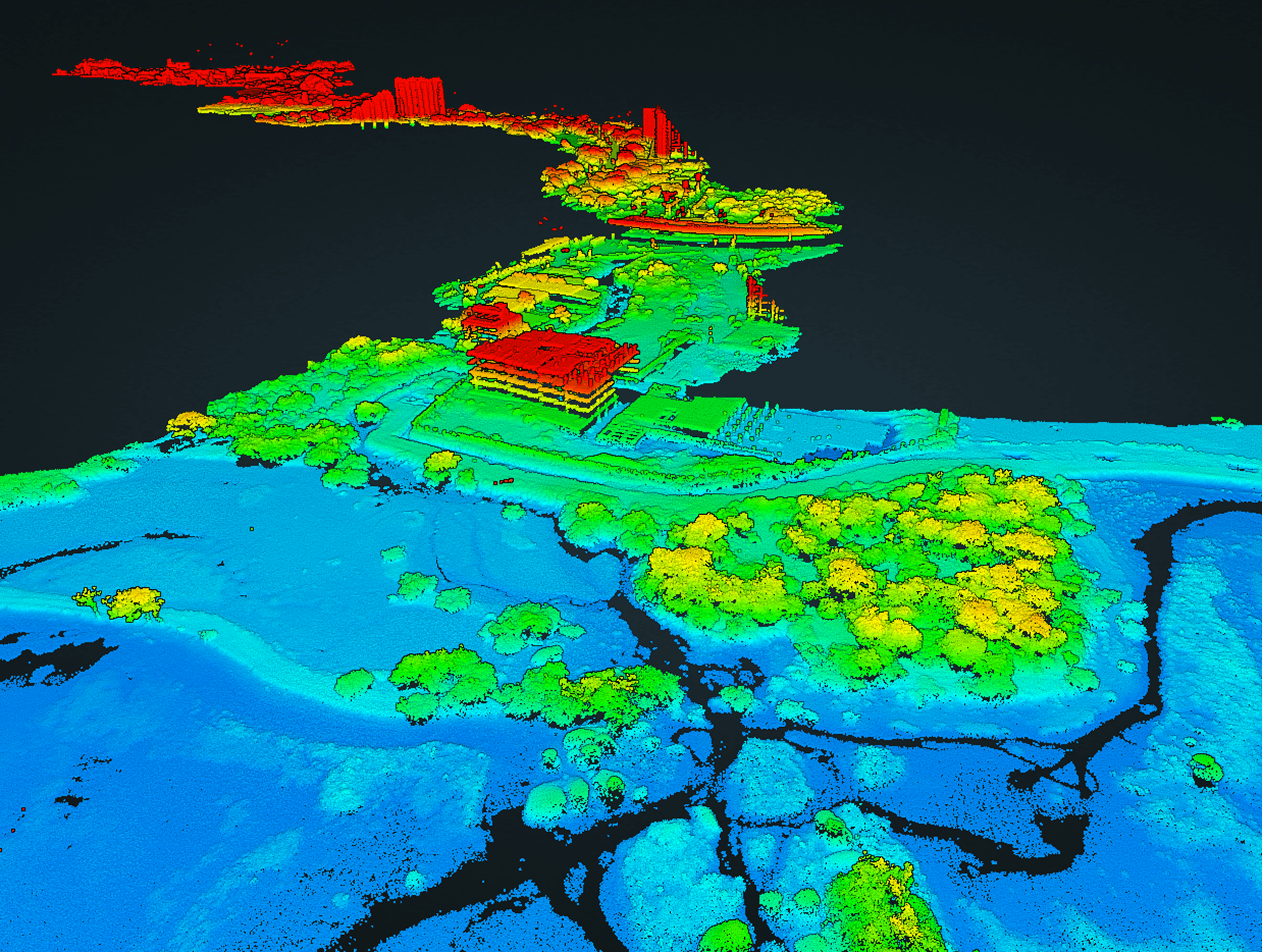

INDUSTRIES WE SERVE
Six industries where Latrics is already reshaping how the ground gets read
From open-pit mines to river deltas, Latrics turns raw elevation and imagery into decisions your team can act on the same day.
OPEN-PIT MINE
Mining
STOCKPILE • PIT PROGRESSION
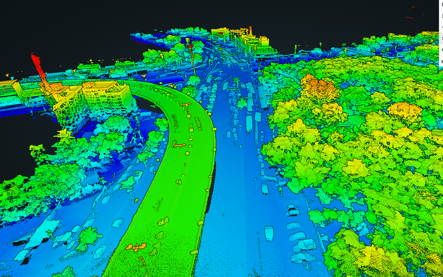
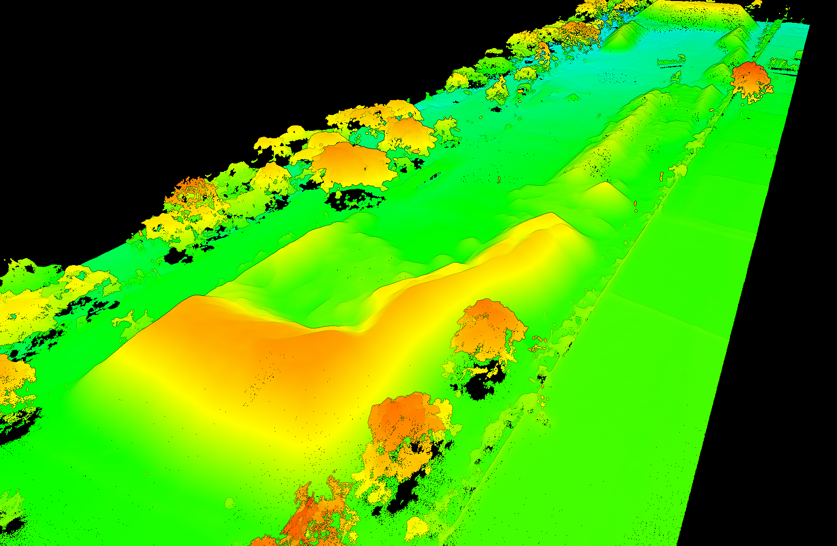
HIGHWAY CORRIDOR
Highways & Rail
CORRIDOR • EARTHWORK
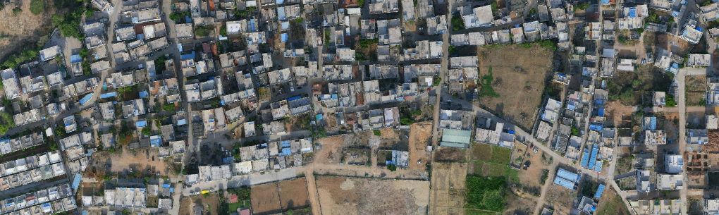
CITY SKYLINE
Urban Development
BASE MAPS • LAND USE
TRANSMISSION LINE
Power & Utilities
CORRIDOR THERMAL • VEGETATION
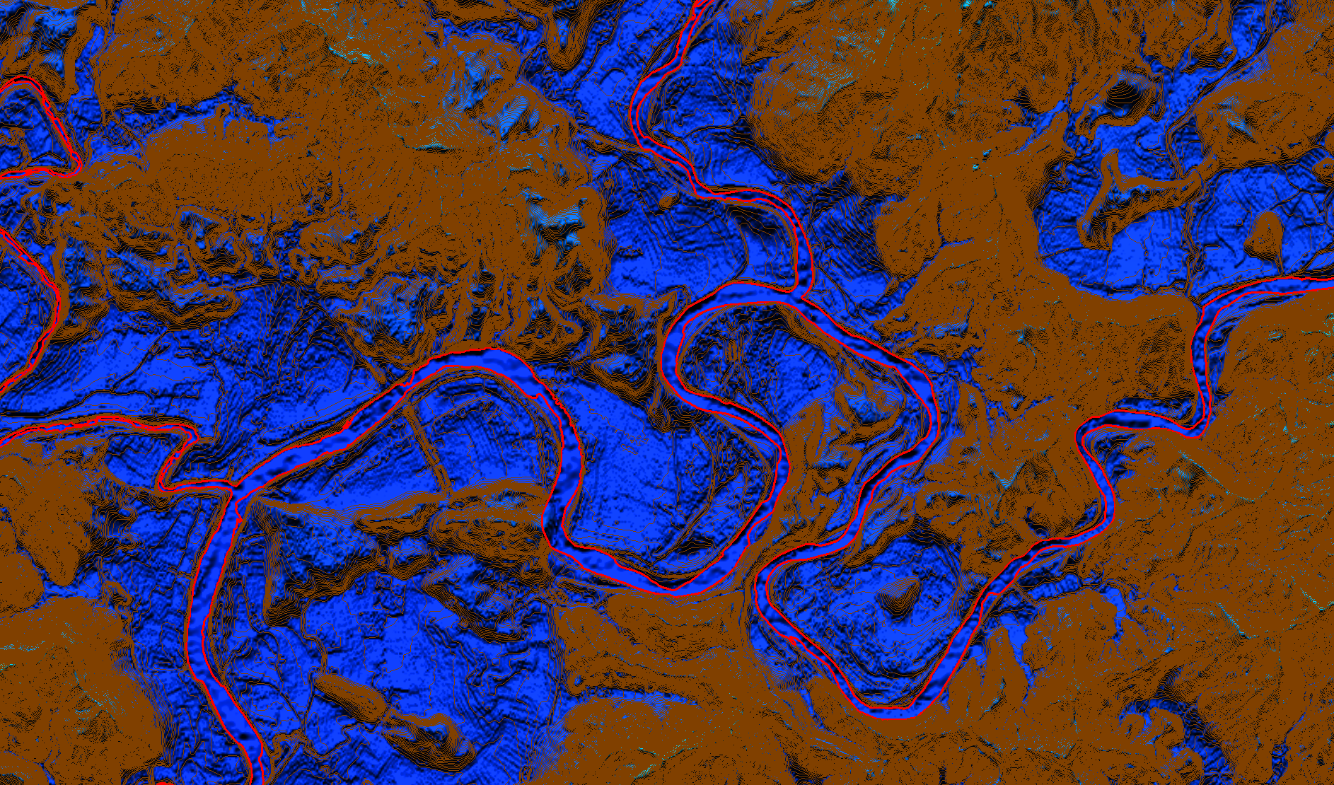
FOREST CANOPY
Water resources
CANOPY HEIGHT • BIOMASS
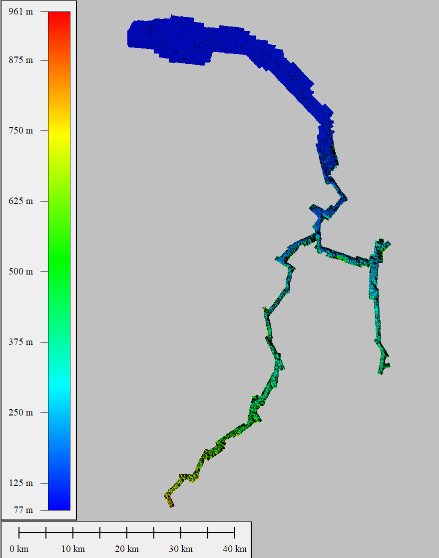
RIVER DELTA
Emergency services
WATERSHED • INUNDATION
IN THE FIELD
Different terrain, same Latrics precision — see it hold up on the ground
Real deployments across mining, highways, energy, and emergency response — measured in hours saved, sites covered, and risk removed from hazardous terrain. Every mission ends in a decision-ready digital twin.
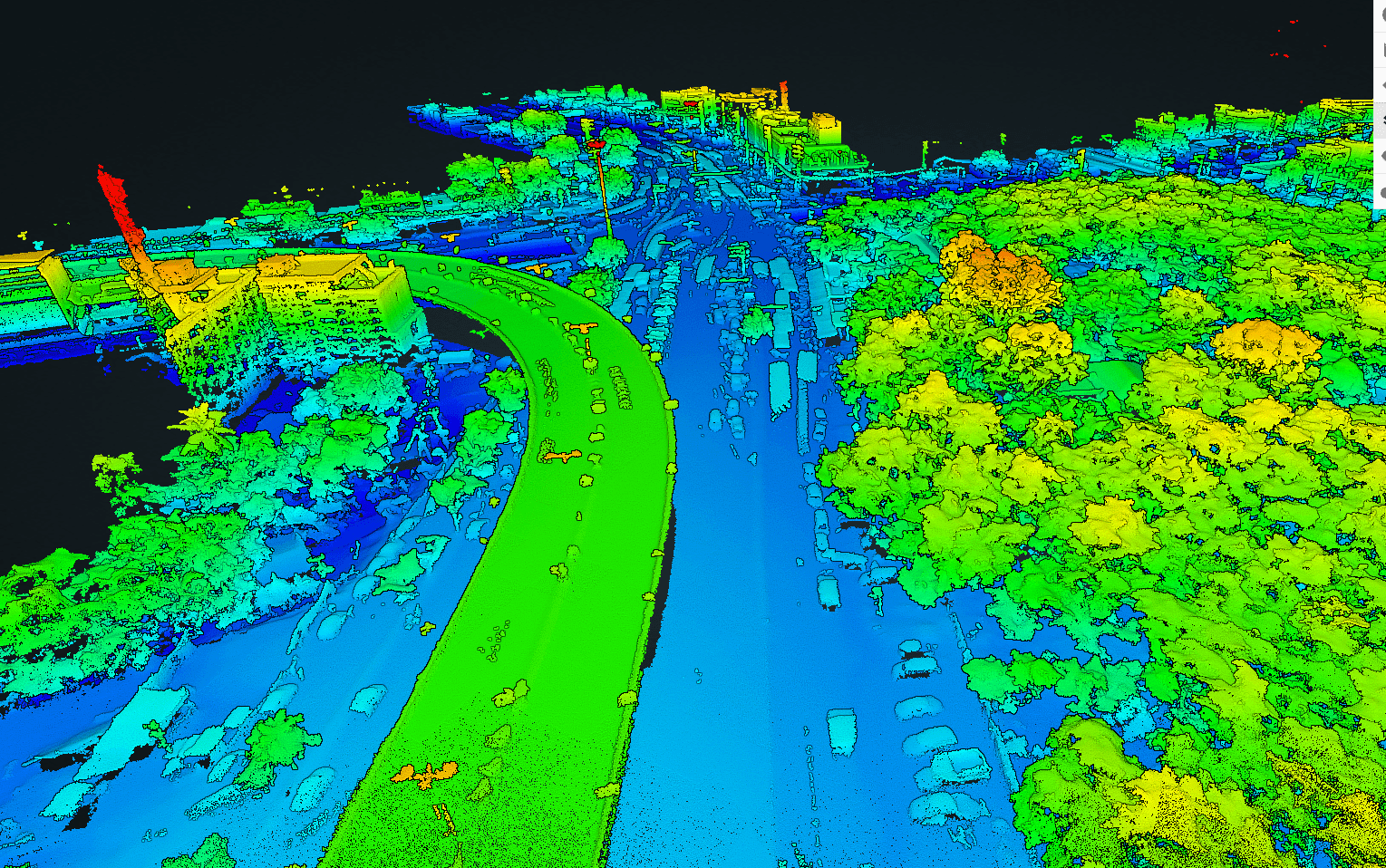
HIGHWAY CORRIDOR, AERIAL
40 km NH corridor mapped 6× faster
NHAI • MAHARASHTRAREAD CASE →
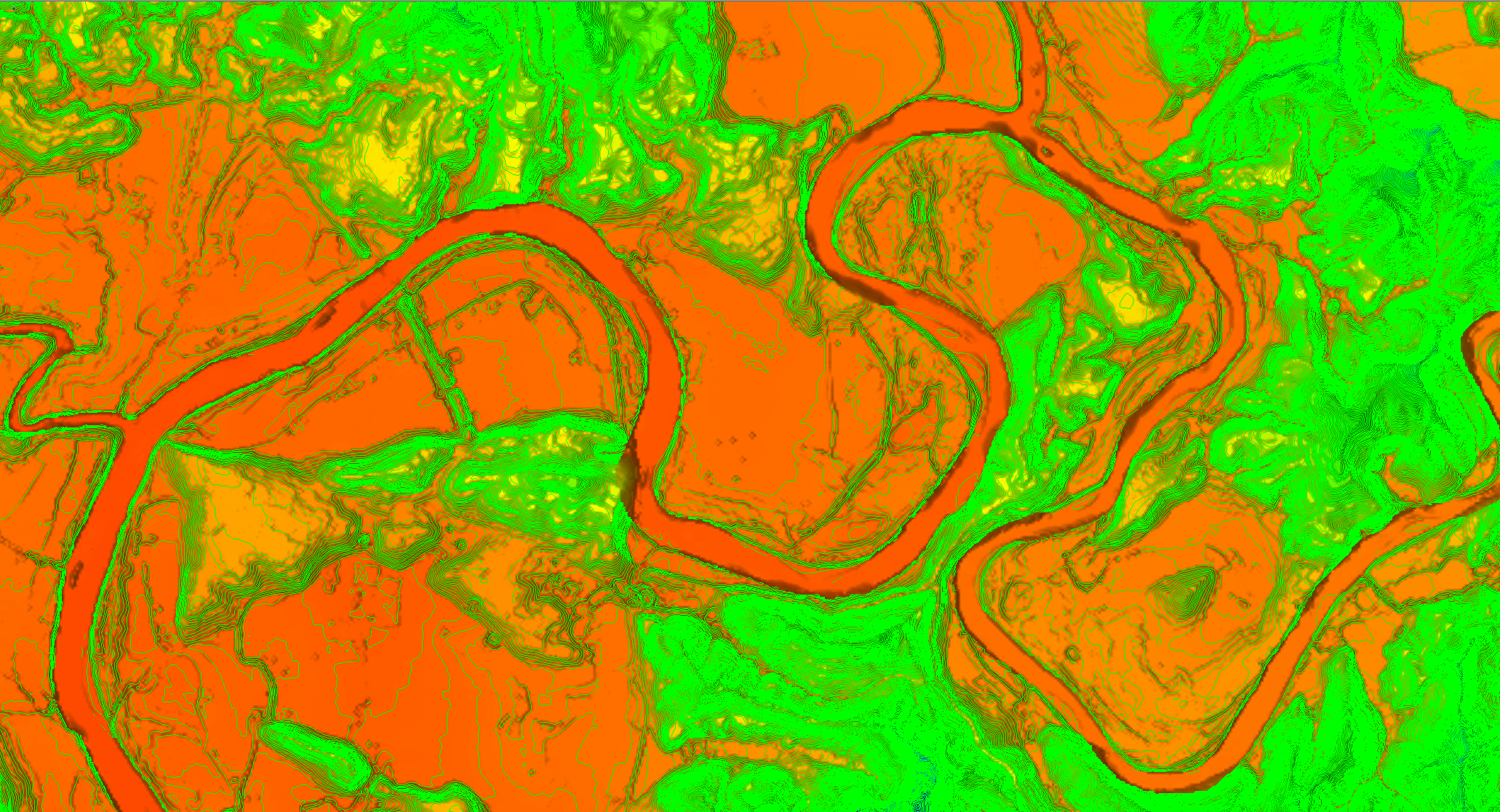
FLOOD RESPONSE, DRONE VIEW
Flood extent mapped in 4 hrs
ASSAM DISASTER CELLREAD CASE →
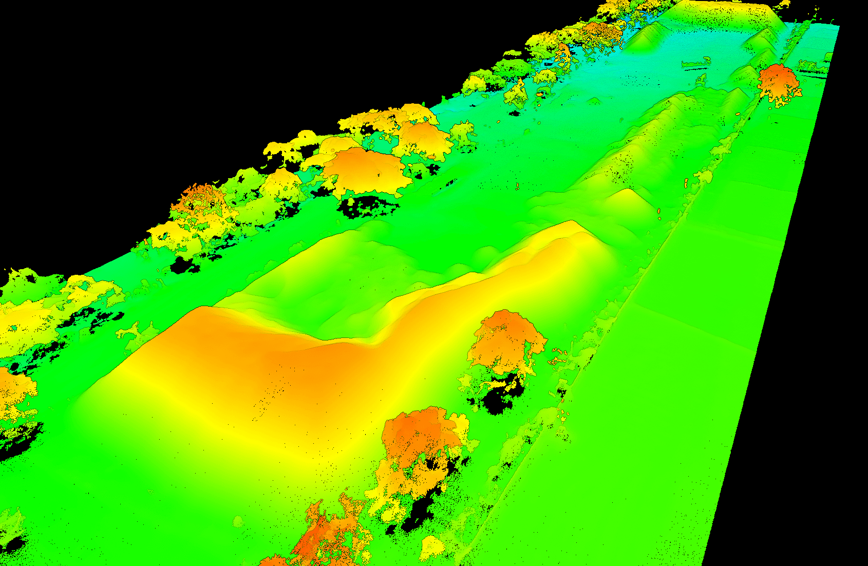
MINING, VOLUMETRIC ANALYSIS
High-precision stockpile measurements
ODISHA MINESREAD CASE →
POWER GRID INSPECTION
Thermal analysis of transmission towers
POWERGRID CORPREAD CASE →
NEWSROOM
Latest from Latrics

Featured • MAY 2026 / AP DRONE CITY INITIATIVE
Latrics Receives Land Allocation to Contribute to Andhra Pradesh Drone City Vision
LiCopter P720 deployment and R&D facility established in Kurnool under the AP Drone City initiative, inaugurated in Puttaparthi in the presence of Defence Minister Shri Rajnath Singh and AP Chief Minister Shri Nara Chandrababu Naidu. Delivering precision LiDAR mapping for smart infrastructure, defense readiness, and critical corridor surveying — advancing India's sovereign autonomous ecosystem.
CHANNEL PARTNER PROGRAM
Grow your business with Latrics
Resell, integrate, or deliver our drone, LiDAR, and Terrain Desk platform — backed by training, marketing, and technical support.