CASE STUDY • REVENUE & LAND RECORDS
Mapping School
Campuses with
Centimeter Precision
Using LiDAR Drones
How Latrics India modernised land record management for institutional campuses through UAV LiDAR technology — delivering accuracy traditional surveys simply cannot.
PROJECT TYPE
School Infrastructure Mapping
TECHNOLOGY
UAV LiDAR · DGPS · WebGIS
SECTOR
Government / Education
OUTPUT RESOLUTION
2 cm Orthophotos
CHALLENGE
When traditional surveys fall short
Accurate land records are the backbone of effective governance and infrastructure planning. Yet for institutional campuses like schools, conventional survey methods consistently fall short — delivering imprecise boundary definitions, incomplete asset mapping, and no elevation intelligence. Something had to change.
Latrics India Private Limited is a leading provider of advanced geospatial and autonomous solutions, specializing in Artificial Intelligence, Drone Technology, IoT, and Sensor Fusion — delivering data-driven solutions that transform governance, infrastructure planning, and societal development.
SNAPSHOT — AT A GLANCE
TECHNOLOGY
UAV LiDAR & DGPS Ground Control
PLATFORM
Cloud-based WebGIS with Secure Access
MAP SCALE
1:500 High-Precision Topographic Maps
KEY APPLICATIONS
Boundary Verification, Asset Inventory, Elevation Mapping
TECHNOLOGY DEEP DIVE
Why LiDAR is a game-changer for land records
LiDAR captures millions of elevation points per second — delivering centimeter-level accuracy that GPS and optical surveys cannot match. For land record applications, this translates to razor-sharp boundary demarcation, reliable terrain analysis, and rapid scalable coverage even in complex, densely-built environments.
OBJECTIVES
What we set out to achieve
Accurate verification and digitisation of school campus boundaries
Precise measurement of built-up and open areas
Creation of a comprehensive, documented asset inventory
Generation of elevation and contour data for future planning
Development of a fully digital land record system
CHALLENGES
The obstacles on ground
Inconsistent and historically inaccurate boundary records
No reliable data on existing infrastructure or assets
Difficulty capturing precise measurements of structures and utilities
Complete absence of elevation data for drainage and land management
Slow, expensive, and error-prone traditional survey methods
LiDAR-driven digital
mapping — end to end
Latrics deployed a comprehensive LiDAR-based drone survey to capture high-resolution spatial data across school campuses. Using DGPS-enabled ground control points, we processed the data to generate precise boundary maps, orthophotos, and full 3D models — all integrated into a cloud-based WebGIS platform.
METHODOLOGY — HOW WE DID IT
01
Ground Truth First
Ground Control Points established with DGPS for centimeter-level accuracy before any aerial work.
02
Aerial Data Acquisition
LiDAR-equipped drones flown over campus boundaries for complete, high-density coverage.
03
Point Cloud Processing
Advanced processing of raw LiDAR data to generate DEM, DSM, and publication-ready orthophotos.
04
Field Verification
On-ground validation of all outputs against physical landmarks for real-world accuracy.
05
Delivery & Training
Handover of deliverables and stakeholder training on the WebGIS platform.
DELIVERABLES
What authorities received
Every output was validated on-ground and delivered through a secure WebGIS platform — giving stakeholders instant access to the complete spatial picture of their campus.
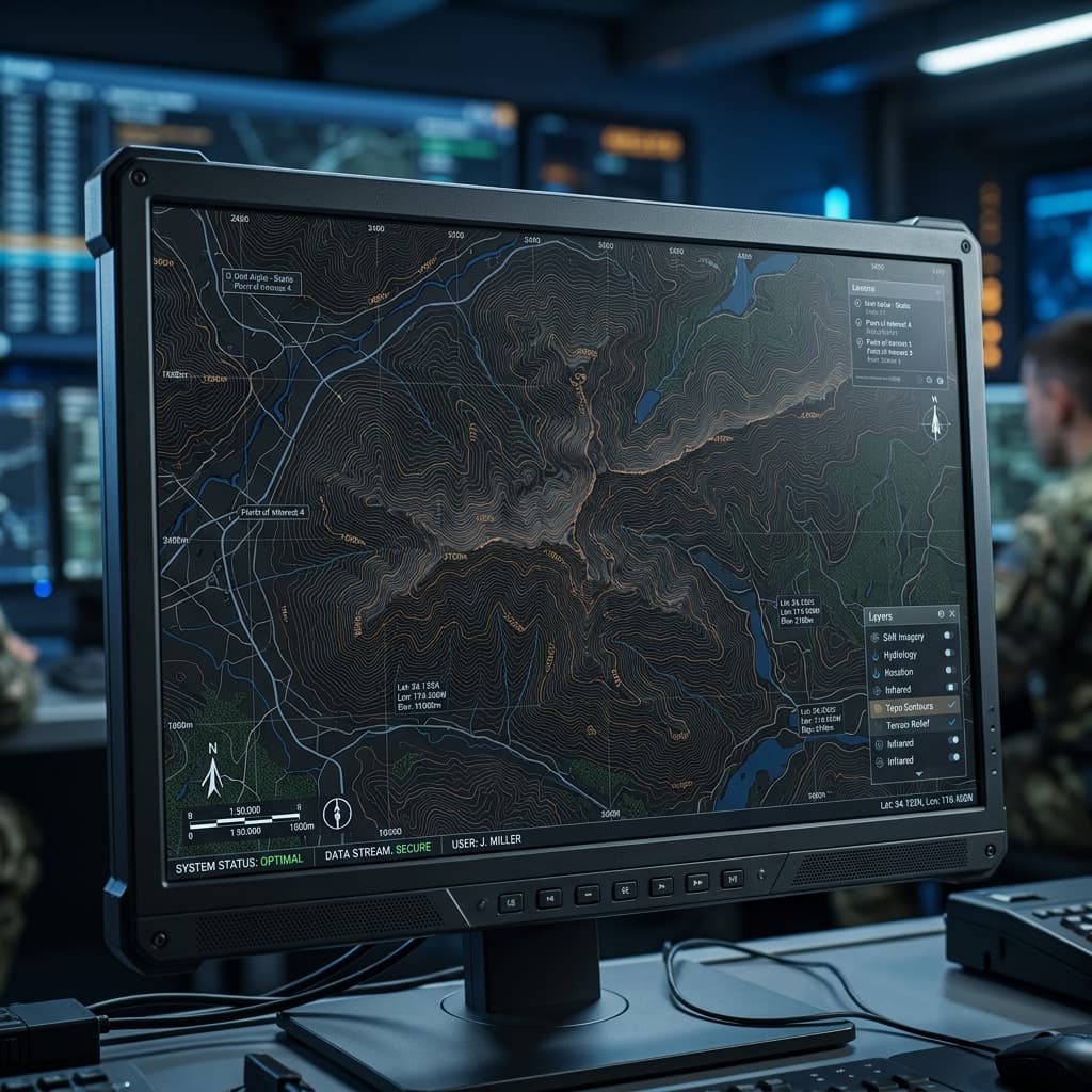
TOPOGRAPHIC MAP
High-precision campus map
1:500 scale topographic map with complete boundary demarcation, asset positions, and spot-level measurements across the school.
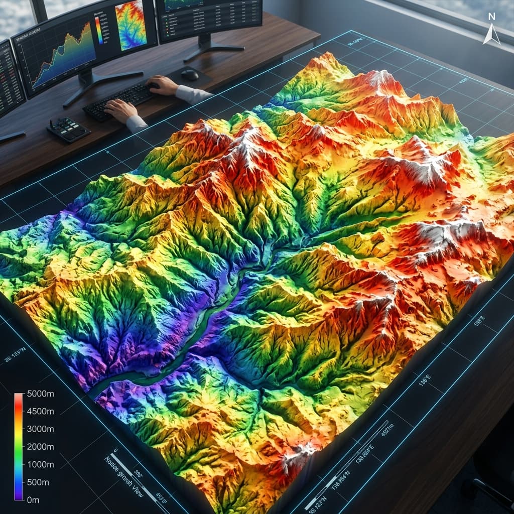
DEM
Digital elevation model
Colour-coded elevation model revealing terrain variation across the campus — essential for drainage planning and land management decisions.
OUTPUT PREVIEW
Preview and download the final outputs
Every deliverable is available as a print-ready PDF and a high-resolution PNG — pulled directly from the same dataset stakeholders reviewed on WebGIS.
High-precision topographic map
Complete boundary demarcation and spot-level measurements — available for download.
CHANNEL PARTNER PROGRAM
Grow your business with Latrics
Resell, integrate, or deliver our drone, LiDAR, and Terrain Desk platform — backed by training, marketing, and technical support.